Contact: contact@AntiqueMapArt.com, Phone: +61 (07) 3103 0391, Mobile: 0011 6723 51512 (Norfolk Mobile)

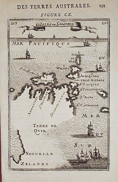
1683 - Isles De Salomon
| Map maker | Size | Map ID | Condition |
| Alain-Manesson Mallet | 115 x 150 mm | D12 / M210 / I118 | Very good condition. Please contact us for the condition report |
| Ask about this item | | SOLD |
‘Isles de Salomon’, c1683 by Mallet. The map shows a number of ships exploring the Pacific. Interestingly the map hints at the possibility that New Zealand may be connected to the Solomon Islands.
View map online on http://www.antiquemapart.com/map/210
