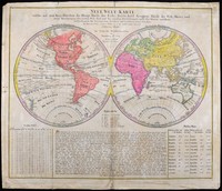
A map of the world showing Cook's second and third voyages. Australia is shown fairly crudely due to the maps purpose of showing the six regions or continents in the world. North America, South…[more]
One of a number of variations of this map. The eastern hemisphere depicts Australia with the classic exaggerated eastern coastline, which was especially used by the French in the pre-Cook era. The…[more]
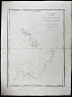
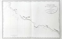
Durville's chart shows the track of his 1827 voyage in the Astrolabe (named in memory of La Perouse's flagship) during their scientific expedition to the region. The map is a significant…[more]
In 1814 Matthew Flinders printed his account of his discovery and charting of the Southern coastlines of Australia shortly before he died. This map printed the same year as flinders’ is an…[more]
This detailed chart shows the voyage of the Duff in 1797. This map marks and details the route of the first English missionary voyage to the Pacific. Captain James Wilson during the voyage also…[more]
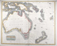
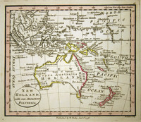
Aspin's chart shows inset maps of Tasmania, the settlements at Port Jakson and Patterson's river, and of the Australian continent, marked 'New Holland'.
A very nice map showing the…[more]
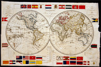
An early world map from 1820 displaying a number of National flags. It is interesting to see how many flags have since changed their design, though the Union Jack is still much as it was in…[more]
Only the second published, complete map of Australia and the first to name Flinders' discoveries.
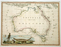
Lapie's fine map of Australia was published just one year after his fellow compatriot,…[more]
Sectional map of the north coast of Queensland showing the Endeavour River, where Cook repaired his boat after being shipwrecked.
Cook's bark, the 'Endeavour' encountered little trouble…[more]
Arrowsmith's map of Van Diemens land or Tasmania is a legacy of the high quality work that John Arrowsmith produced. He worked on a number of maps and charts during a vital age of Australian…[more]
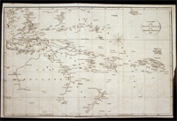
Bowen's map of the Pacific is typical of the period. After the success of Cook's voyages in the 1770s the worlds attention was drawn to the Pacific where tales of paradise, danger, and adventure…[more]
First edition of De lisle's polar hemispherical map showing Australia and New Zealand according to Tasman's two voyages in 1642-3 and 1644.
This is the first state of De l'isle's…[more]
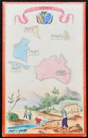
This interesting small map was most likely part of a board game or some other game or set. It shows several Pacific Islands and Australia. On each is marked the population of its major city/town.…[more]
Faden was the geographer to the King of England and produced many fine works until his death in 1836. This map has three main features that make it especially interesting. 1. this map is one of…[more]
A plan of Adventure bay showing anchorage points from the expedition in 1793 and published in the D'Entrecasteaux atlas of 1807.…[more]
Chart by Freycinet showing Baudin's voyage of 1802 in which he charted the coastlines of Australia at the same time that Matthew Flinders was circumnavigating Australia. The chart is designed for…[more]
This interesting world map comes from Malte-Brun and Lapie's decorative atlas of 1812. Though this map is often shown to have been first printed in 1805 it is very unlikely as it shows…[more]



.jpg)
.jpg)
.jpg)
.jpg)
.jpg)



.jpg)