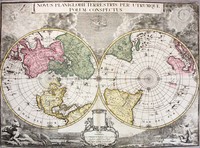
Montanus' map shows the distribution throughout the world of the Noah's sons and their offspring as they re-populated the earth after the great Flood. A numerical and alphabetical reference system…[more]
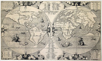
Map of the world showing a landmass remarkably like the west coast of Australia and roughly where Australia should be.
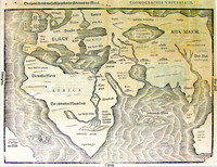
Bunting's map charts a landmass named 'India Meridionalis', which…[more]
The first published map devoted to the Pacific and the most important i6th century map to show the Spanish domination of the South Seas .
Maris Pacifici illustrates the lengths to which…[more]
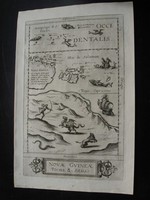
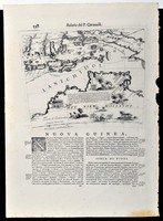
De Jode's rare map of New Guinea and Terra Australis Incognita is considered by some authorities to represent the first printed map of Australia .
One of the remaining contentious issues…[more]
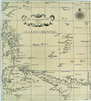
The map focuses on Southern Asia and the Northern Pacific, also showing part of the west coast of North America. Part of northern Australia can be seen coloured in green at the bottom of the map.…[more]
The third edition of the first published map to chart the Dutch discoveries in Australia on both Cape York Peninsula and on the west coast of Australia .
Willem Blaeu was Hydrographer to…[more]
From the first sea atlas by an Englishman, and the first to use Mercator Projection.
This is the second state of Dudley's map of Asia, showing New Guinea , the northern tip of Cape York…[more]
Thevenot’s chart of Australia is the first large scale chart solely dedicated to Australia and one of the first to show Abel Tasman’s discoveries in Northern Australia and Tasmania. Only a few…[more]
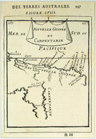
The first detailed published map to show any part of Queensland (Tully). Shows New Guinea , the east coast of Cape York Peninsula and part of Arnhem Land .
Although not a particularly…[more]
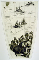
Gore embeded in text by Coronelli. A Gore was a map that was engraved to be adheared onto a sphere to make a globe. Globe making was expensive for both the producer and buyer and so many map…[more]
Coronelli was one of the greatest engravers and map makers of the Seventeenth Century. His map making achievements are both impressive and beautiful with his special style easily identified. He…[more]
Valck's map was made by the famous mapmaker Joan Blaeu. It is believed to have been engraved in 1672, but neverpublished. Historians assume that a great fire at Blaeu’s printery was the reason he…[more]
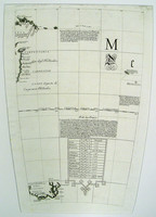
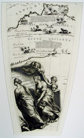
Set of four gores of part of the Southern Hemisphere covering Australia and Coronelli's magnificent cartouche.
A gore originally was a section of map used to create a world globe. However,…[more]
Set of four gores of part of the Southern Hemisphere covering Australia and Coronelli's magnificent cartouche.
A gore originally was a section of map used to create a world globe. However,…[more]
Set of four gores of part of the Southern Hemisphere covering Australia and Coronelli's magnificent cartouche.
A gore originally was a section of map used to create a world globe. However,…[more]
Set of four gores of part of the Southern Hemisphere covering Australia and Coronelli's magnificent cartouche.
A gore originally was a section of map used to create a world globe. However,…[more]
Mortier's large chart of Asia is interesting due to the fact that it shows the complete known coastline of the continent. Most charts showing a similar view of the region tend to only show the…[more]
First edition of De lisle's polar hemispherical map showing Australia and New Zealand according to Tasman's two voyages in 1642-3 and 1644.
This is the first state of De l'isle's…[more]
Australia is shown with north oriented to the left .
The prototype of De Wit and Ottens' impressive map is Goos' 1666 map of the East Indies which also had Australia shown with north…[more]


.jpg)
.jpg)

.jpg)
.jpg)
.jpg)

_0.jpg)

