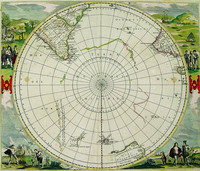
De Wits edition of this famous hemispherical map of the Antarctic region by Hondius. This edition shows the discoveries of Tasman in Australia and New Zealand .
Originally published by…[more]
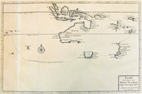
‘Isles de Salomon’, c1683 by Mallet. The map shows a number of ships exploring the Pacific. Interestingly the map hints at the possibility that New Zealand may be connected to the Solomon…[more]
This map is included with Volumes 1 to 4 of Valentyn's rare work printed between 1724 and 1726. The map shows the track of Tasman's epic first voyage to Australia in 1642-43.
Also…[more]
This well known engraving from valentyn's voyages is said to be one of the first to show the New Zealand Maoris. Showing two views, one of Tasman’s two ships in Murders Bay (Golden Bay)…[more]
Map of Tasmania showing the track of Abel Tasman's first voyage of 1642-43, which resulted in the discovery of Tasmania and New Zealand.
Apart from the very rare copy of Vissher's map,…[more]
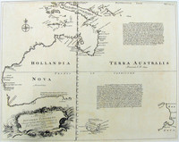
The first large-scale map of Australia by an Englishman showing the 1642-43 and 1644 discoveries of Abel Tasman in Australia and New Zealand .
Despite the fairly rapid and wide…[more]
Believed by many to be the first published chart of the Pacific to show Australia 's east coast and both the north and south islands of New Zealand . Cook's first voyage track is charted.
…[more]This is the first printed chart of New Zealand which was published only three years after Cook completed his charting of the two Islands in 1770. Cook had originally come to the Pacific to observe…[more]
From James Cook's first voyage in which he charted New Zealand and the east coast of Australia. The map depicts Cook's Strait, that seperates the north and south island of New Zealand. Present day…[more]
From the French/German edition of Cook's first voyage. Cook's chart depicts three bays in the north island of New Zealand. The Firth of Thames, Tolga Bay, and the Bay of…[more]
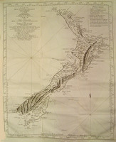
This chart shows the extent of Cook's discoveries and exploration of New Zealand during his first voyage to the pacific (1768-1771). It was the first complete map of New Zealand though this…[more]
A reduced version of Dalrymple's chart, this map shows the tracks of many explorers including Tasman, Schouten, Mendana, Quiros, Torres and Roggevin. Of particular interest is the track of Torres,…[more]
From the French/German edition of James Cook's first voyage in which he charted New Zealand and the east coast of Australia. The map depicts Cook's Strait, that seperates the north and south…[more]
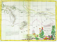
Map of Australia , New Zealand , New Guinea and the South Pacific. One of the earliest maps to show the tracks of the voyages of Capt. Cook, Carteret, Byron, Wallis and Mouats.
Zatta's…[more]
A French chart of Australia and New Zealand showing the discoveries made by Cook in 1770, during his first voyage and the discoveries made by Capt. Furneaux in Tasmania in 1773. Australia is…[more]
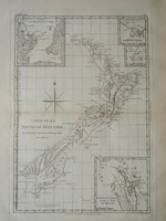
Bonne's chart of New Zealand is among the first maps produced of the Islands, being a representation of Cook's 1773 charts. Bonne essentially copied a number of Cook's charts for his atlas and…[more]
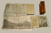
The third edition of Cook's famous voyage in which the East Coast of Australia and most of New Zealand was discovered and charted. There are 4 volumes in total in an octavo format. Unlike the…[more]
‘New Holland and the adjacent Islands’, 1790 by Kincaid. The map depicts a very early inset map of Port Jackson and Sydney Cove. One of the earliest post settlement maps simply focusing on…[more]
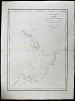
Durville's chart shows the track of his 1827 voyage in the Astrolabe (named in memory of La Perouse's flagship) during their scientific expedition to the region. The map is a significant…[more]



_0.jpg)
.jpg)
 IH53.jpg)
.jpg)




.jpg)
.jpg)
.jpg)
