Fries' map is of particular interest as it portrays to some extent, the curr-ent indecision about the nature of the world at that time. America had only been discovered some thirty years earlier…[more]
Munster 's world map in ovaloid projection is one of the most sought after sixteenth century maps. Unlike many of its contemporaries, the great southern land is completely omitted.
…[more]The World map from the first ever published 'modern' atlas. This was to be the prototype of many later world maps. It was to become the standard reference for years to follow. The atlas…[more]
Montanus' map shows the distribution throughout the world of the Noah's sons and their offspring as they re-populated the earth after the great Flood. A numerical and alphabetical reference system…[more]
Map of the world showing a landmass remarkably like the west coast of Australia and roughly where Australia should be.
Bunting's map charts a landmass named 'India Meridionalis', which…[more]
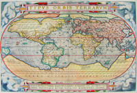
Ortelius' famous atlas 'Theatrum Orbis Terrarum' was first published in 1570. Regarded as the first 'modern' atlas, it comprised maps of similar size and style. It wasn't until the 1590 edition…[more]
Solis' map is one of the few world maps to be printed in Spain in the late 16 th and early 17 th centuries. Spain had a strict secrecy policy in connection with the production of maps relating to…[more]
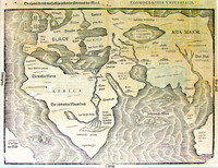
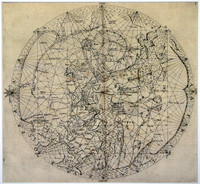
Medieval world map based on Portolano sources, with Jerusalem at the centre and east at the top.
The map is one of the very few printed medieval world maps to be based on Portolano…[more]
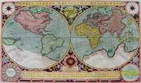
Final state of Jodocus Hondius' rare world map in twin hemispheres surrounded by a decorative strapwork border. This state was published by Le Clerc's widow.
Jodocus Hondius engraved…[more]
Decorative world map in twin hemispheres showing the results of Tasman's first voyage in Tasmania , based on Visscher's world map.
This map is a close copy of Visscher's first Bible…[more]
The 'Nova Totius Terrarum Orbis Tabula' reworked by Rossi from De Wit's wall map. It is a tremendous and beautiful world wall chart that was originally printed on 12 separate sheets, which were…[more]
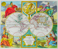
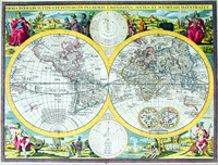
De Wit's decorative world map in twin hemispheres with allegorical scenes in the corners.
Regarded as one of the finest maps of its kind. The marvellous scenes in the corners combine an…[more]
Valck's map was made by the famous mapmaker Joan Blaeu. It is believed to have been engraved in 1672, but neverpublished. Historians assume that a great fire at Blaeu’s printery was the reason he…[more]
This map of the world is believed to have been engraved by Herman Moll circa 1700. After this edition there were a number of adaptations of the plate including one example in the National Library…[more]
This map comes from a Dutch Bible. As with other Dutch Bibles, it consisted of a world map and five Holy Land maps, this being the world map.
The source of this map is the little known…[more]
First printed in the 1670s this map was so popular that it was printed up until the mid 1700s. This edition of the map comes from a Dutch bible circa 1736.
Interestingly the map displays…[more]
Covens and Mortier’s map of the world utilised a very popular style that was used during the 18th century. The beautiful cartouche shows four women that each represent a different region, Europe,…[more]
A beautiful map focusing on astrological interests including the orbits of the planets.…[more]
The double hemisphere map itself details the routes of many navigators including Magellan in 1520, Mendana in 1568, Tasman's 1642 - 43 route and Schouten and Le Maire in 1616, amongst others.
…[more]




.jpg)


.jpg)


.JPG)
