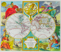
The double hemisphere map itself details the routes of many navigators including Magellan in 1520, Mendana in 1568, Tasman's 1642 - 43 route and Schouten and Le Maire in 1616, amongst others.
…[more]Hams map of Melbourne is one of the earliest and best of the city. Victoria had only been officially proclaimed the year before and it shows Melbourne just before the boom of the gold rushes when…[more]
From the first sea atlas by an Englishman, and the first to use Mercator Projection.
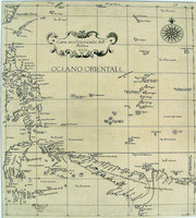
This is the second state of Dudley's map of Asia, showing New Guinea , the northern tip of Cape York…[more]
A very rare and desirable book on a plan to explore the interior of Australia by a retired officer. More information to come.…[more]
4to. Complete with all called for engravings and charts. Information to…[more]
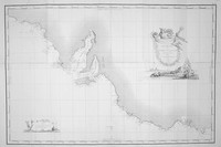
Offered here is the very rare and desirable first edition of Flinders exceptional and important chart, printed before the death of Flinders and before the admiralty would begin to publish the…[more]
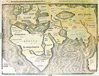
Map of the world showing a landmass remarkably like the west coast of Australia and roughly where Australia should be.
Bunting's map charts a landmass named 'India Meridionalis', which…[more]
Coronelli was one of the greatest engravers and map makers of the Seventeenth Century. His map making achievements are both impressive and beautiful with his special style easily identified. He…[more]
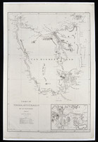
Flinders chart of Van Diemen's land from his first edition of the chart issued before the event of his death in the same year (1814). This example comes from the much rarer elephant folio that…[more]
Matthew Flinders (1774-1814) was an accomplished navigator and cartographer, having circumnavigated the Australian continent, proved that Tasmania was not joined to the mainland, and played a…[more]
This well known engraving from valentyn's voyages is said to be one of the first to show the New Zealand Maoris. Showing two views, one of Tasman’s two ships in Murders Bay (Golden Bay)…[more]
This is the first printed chart of New Zealand which was published only three years after Cook completed his charting of the two Islands in 1770. Cook had originally come to the Pacific to observe…[more]
This map comes from a Dutch Bible. As with other Dutch Bibles, it consisted of a world map and five Holy Land maps, this being the world map.
The source of this map is the little known…[more]
One of the first maps of Queensland, made less than a year after the foundation of the colony late in…[more]
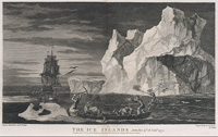
The second voyage of Captain Cook in his exploration and circumnavigation of the South Pole in HMS Resolution and HMS Adventure. A very interesting account of the voyage including 62 engravings…[more]
One of the earliest maps of Southeast Asia and published in the first 'modern' atlas. Part of 'Terra Australis Incognita' is shown emerging from the south and is named 'Beach'.
It was…[more]
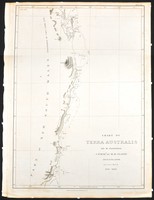
The rare first edition chart by Matthew Flinders printed before the admiralty began publishing the chart. Shown is the Queensland coast between Wide Bay (near Noosa Heads) and the Flat Isles…[more]


.jpg)
.jpg)
.jpg)
.jpg)
.jpg)
_0.jpg)
.jpg)
