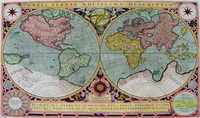
Final state of Jodocus Hondius' rare world map in twin hemispheres surrounded by a decorative strapwork border. This state was published by Le Clerc's widow.
Jodocus Hondius engraved…[more]
The first complete, published map of Australia.
Although Matthew Flinders was the first person to circumnavigate Australia, in Her Majesty’s ship the Investigator between 1801-03,…[more]
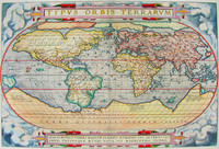
The World map from the first ever published 'modern' atlas. This was to be the prototype of many later world maps. It was to become the standard reference for years to follow. The atlas…[more]
The first published map devoted to the Pacific and the most important i6th century map to show the Spanish domination of the South Seas .
Maris Pacifici illustrates the lengths to which…[more]
Proeschel's very rare seperately published map of New South Wales
Proeschel was born in France in 1809 and moved out to Victoria to participate in the goldrushes in 1852. Basing himself in…[more]
Solis' map is one of the few world maps to be printed in Spain in the late 16 th and early 17 th centuries. Spain had a strict secrecy policy in connection with the production of maps relating to…[more]
Recently acquired impressive separately published map. Information to come.…[more]
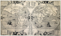
Montanus' map shows the distribution throughout the world of the Noah's sons and their offspring as they re-populated the earth after the great Flood. A numerical and alphabetical reference system…[more]
One of the first maps printed of the new colony of Queensland (1859). This very large map by Proeschel is very detailed and is canvas mounted, folding down into a booklet form.…[more]
Cook's famous folio atlas to his 3rd voyage containing 62 engravings including the rare Death of Cook plate plus two large charts showing the extent of Cook's exploration during his three voyages…[more]
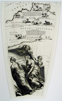
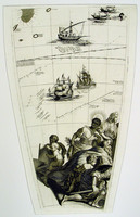
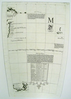
Set of four gores of part of the Southern Hemisphere covering Australia and Coronelli's magnificent cartouche.
A gore originally was a section of map used to create a world globe. However,…[more]
Set of four gores of part of the Southern Hemisphere covering Australia and Coronelli's magnificent cartouche.
A gore originally was a section of map used to create a world globe. However,…[more]
Set of four gores of part of the Southern Hemisphere covering Australia and Coronelli's magnificent cartouche.
A gore originally was a section of map used to create a world globe. However,…[more]
Set of four gores of part of the Southern Hemisphere covering Australia and Coronelli's magnificent cartouche.
A gore originally was a section of map used to create a world globe. However,…[more]
Offered here is the very rare and desirable first edition of Flinders exceptional and important chart, printed before the death of Flinders and before the admiralty would begin to publish the…[more]
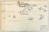
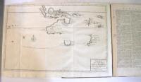
This map is included with Volumes 1 to 4 of Valentyn's rare work printed between 1724 and 1726. The map shows the track of Tasman's epic first voyage to Australia in 1642-43.
Also…[more]
Six parts of the Eight Volumes of Valentyn's (Valentijn) rare work printed between 1724 and 1726. More information to come.
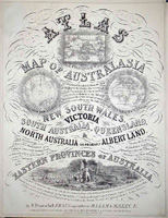
…[more]Evidence continues to imerge that points to Proeschel's atlas being the first national atlas to be printed in Australia. William Baker did publish 'The Australian County Atlas' in Sydney in 1843,…[more]
Magnificent wall world map in twin hemispheres showing the discoveries made by Cook in 1770 in New Zealand and Australia. The whole map set within a splendid and impressive framework.
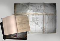
…[more]‘A voyage to Terra Australis’ and a ‘General Chart of Terra Australis or Australia’, 1814 by Matthew Flinders. 2 volumes of text and atlas. The Atlas contains 16 charts, 2 coastal views and 10…[more]



.jpg)
.jpg)

.JPG)
.jpg)


.jpg)
