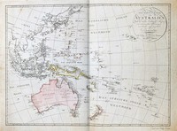
Sotzmann's map of the pacific is a popular German depiction of Australasia. Here Australia can be seen still connected to Tasmania as was believed until Flinder and Bass's discoveries in 1798…[more]
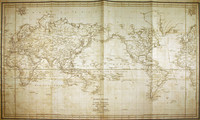
Map of the world showing the route of La Perouse's voyage. Cook's 1770 first voyage discoveries on Australia's East Coast are charted.
Following the immense success of Captain Cook's…[more]
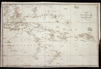
"A Chart Shewing the tract of Capt Cook’s last voyage 1799", by Low. The map shows the route of Cook’s third voyage around the Pacific rim in search of the fabled Northwest passage. On the…[more]
This detailed chart shows the voyage of the Duff in 1797. This map marks and details the route of the first English missionary voyage to the Pacific. Captain James Wilson during the voyage also…[more]
De La Rochette's beautiful chart encompassing the Indian Ocean, Australasia and the Pacific is best appreciated up close. The quality of the engraved image and high level of detail is of a…[more]
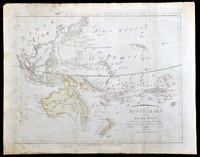
In 1805 when this map was printed there was a strong belief that the Australian continent may be divided by an internal sea so that the east coast was separated from the rest of the …[more]
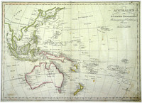
From the Viennese engraver Mollo. This map shows the popular depiction of the region including much of the South Pacific, South East Asia, New Zealand, and Australia. Australia is labeled "Neu…[more]
Streit’s map of Australia and the Pacific is executed with an excellent quality of engraving. Streit most likely takes inspiration from Swoboda and Hartls map of ‘Australien’ of 1805, as much of…[more]
Walch's map of the Pacific comes after most of the major coastal charting of the region has been made though of course in the case of Australia a vast majority of the interior is still unexplored…[more]
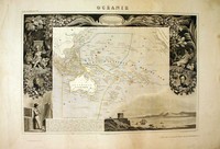
A beautiful map of the Australian region and Pacific. The map is surrounded by a very decorative border depicting scenes from the Pacific.
This map comes from one of the last ornate…[more]


.jpg)
.jpg)
.jpg)


.jpg)
.jpg)
.jpg)
.jpg)
.jpg)
