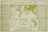
A small chart of the southern hemisphere that shows the track of HMS Sirius on her voyage out from England in 1787 as the flagship to the First Fleet. The First Fleet was made up of eleven ships…[more]
A beautiful map focusing on astrological interests including the orbits of the planets.…[more]
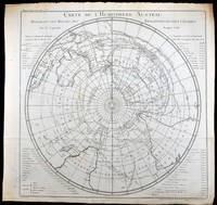
A French edtion of Captain James Cook's famous chart of the Southern Hemisphere. The original English edition was printed in 1777 when Cook's second voyage was published. The French edition was…[more]
An interesting map of the interior around Sydney. In the early days of the settlement in Australia there was a prime importance to establish sufficient even abundent food supplies so that the…[more]
By 1844 the extent of explored regions in Australia was still generally minor in relation to the size of the continent. The gold rushes were yet to have begun and only the small colonies on the…[more]
Map focusing on the present day Queensland coast, New Guinea, and part of the Pacific. Shown is the 1781 route of Spanish explorer Don Francisco Antonio Maurelle along the northern coast of New…[more]
Rath's firm was located in Leipzig, Germany, a city known for its publishing houses. Rath established the firm in 1917 and from 1921 also produced electric illuminated globes. His globes from a…[more]
Stockdale's map of Norfolk Island is the first map of the settlement of the new colony. The top half of the map shows an overview of Norfolk and the two outlying islands, Phillip and Nepean. The…[more]
Captain Cooks chart of New Guinea showing also previous exploration by other explorers such as Carteret. A very nice large chart of the island
Captain James Cook (1728-1779) was an…[more]
Brue had a special relationship with Australia. He was involved in Baudin's expedition between 1801 and 1803 which charted the Australian coastline. The discoveries from the expedition would…[more]
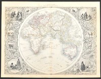
A brilliant later world map that also shows the comparitive heights of the highest mountains and lengths of the longest rivers. From Johnston's 'National Atlas' the map is a fine example of his…[more]
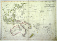
From the Viennese engraver Mollo. This map shows the popular depiction of the region including much of the South Pacific, South East Asia, New Zealand, and Australia. Australia is labeled "Neu…[more]
Two maps by Lizars on the one sheet. One focuses on Van Diemens Land (Tasmania) and the limit of interior exploratioin, most notably connecting the northern and southern coastlines. There is also…[more]
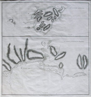
These charts are from the French/German edition of Captain Cook's visit and charting of Botany Bay and the Endeavour River after the original drawing by Cook himself and published a year after the…[more]
From James Cook's first voyage in which he charted New Zealand and the east coast of Australia. The map depicts Cook's Strait, that seperates the north and south island of New Zealand. Present day…[more]


.jpg)
.jpg)
.JPG)
.jpg)
.jpg)


.jpg)
.jpg)
.jpg)
.jpg)
.jpg)
.jpg)

