De La Rochette's beautiful chart encompassing the Indian Ocean, Australasia and the Pacific is best appreciated up close. The quality of the engraved image and high level of detail is of a…[more]
In 1805 when this map was printed there was a strong belief that the Australian continent may be divided by an internal sea so that the east coast was separated from the rest of the …[more]
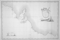
A plan of Adventure bay showing anchorage points from the expedition in 1793 and published in the D'Entrecasteaux atlas of 1807.…[more]
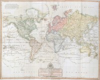
A large map of the world by Laurie & Whittle exhibiting all the quality of execution that they produced, especially in their large format maps. The design of the compass rose and cartouche are…[more]
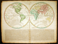
Le Sage's map of the world is a good example of the movement towards the information age where information was key to the importance of a map and placing it into context rather than its decorative…[more]
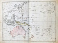
From the Viennese engraver Mollo. This map shows the popular depiction of the region including much of the South Pacific, South East Asia, New Zealand, and Australia. Australia is labeled "Neu…[more]
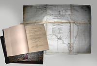
Here on offer are two (2) important and interesting books on the early years of Australian settlement. These two volumes are 'The History of New South Wales, including Botany Bay, Port Jackson,…[more]
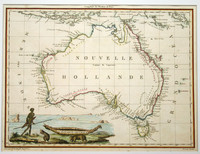
The first complete, published map of Australia.
Although Matthew Flinders was the first person to circumnavigate Australia, in Her Majesty’s ship the Investigator between 1801-03,…[more]
Only the second published, complete map of Australia and the first to name Flinders' discoveries.
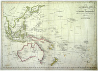
Lapie's fine map of Australia was published just one year after his fellow compatriot,…[more]
This interesting world map comes from Malte-Brun and Lapie's decorative atlas of 1812. Though this map is often shown to have been first printed in 1805 it is very unlikely as it shows…[more]
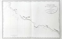
Chart by Freycinet showing Baudin's voyage of 1802 in which he charted the coastlines of Australia at the same time that Matthew Flinders was circumnavigating Australia. The chart is designed for…[more]
First edition of Flinders' important and desirable chart of Bass Strait. More information to come
Matthew Flinders (1774-1814) was an accomplished navigator and cartographer, having…[more]
These 7 views of the coastline between Cape Catastrophe in South Australia to Cape Schanck in Victoria are an interesting and important relic from Flinders famous journey during the…[more]
‘A voyage to Terra Australis’ and a ‘General Chart of Terra Australis or Australia’, 1814 by Matthew Flinders. 2 volumes of text and atlas. The Atlas contains 16 charts, 2 coastal views and 10…[more]
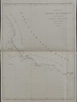
This very rare first edition Flinders chart depicts the region of coast between Melbourne and Adelaide. We will provide a more detailed and in depth description of the map soon.
We have…[more]
Offered here is the very rare and desirable first edition of Flinders exceptional and important chart, printed before the death of Flinders and before the admiralty would begin to publish the…[more]




.jpg)
.jpg)
.jpg)

.jpg)
.jpg)
.jpg)
.jpg)