Wyld's large size map of Australia was one of the first in a series that would show the progress of exploration on the continent. The earliest edition of this map is believed printed in 1833 that…[more]
A rare map of Norfolk Island drawn to accompany Majr. Barney's letter to the Hon.bl The Colonial Secy. Dated 20th Feby. 1840. Maps of the island are rare to find and especially pieces printed…[more]
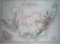
A very detailed and finely engraved map of the major newly colonised parts of south-eastern Australia, with insets showing Western Australia, Van Diemen's Land and plans of Sydney and Adelaide. …[more]
By 1844 the extent of explored regions in Australia was still generally minor in relation to the size of the continent. The gold rushes were yet to have begun and only the small colonies on the…[more]
Black and Hughes map of South Eastern Australia shows the extent of exploration and settlement in the region. 'Lake' Torrens in South Australia is shown as if full of water though the note on it…[more]
A brilliant later world map that also shows the comparitive heights of the highest mountains and lengths of the longest rivers. From Johnston's 'National Atlas' the map is a fine example of his…[more]
Reference image of an earlier edition held by the National Library. We hope to have an image of our example shortly.
Arrowsmith's impressive engraved map of Australia issued originally…[more]
By the late 1840s the extent of exploration of the Australian continent had expanded dramatically. This map illustrates many of the newly explored regions not seen on Johnstons 1844 map of…[more]
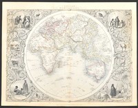
Tallis was best known for his very accurate and visually appealing maps and views, which included most of the countries and many of the colonies of the world at that time. His most accomplished…[more]
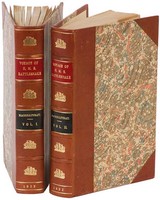
A rare first edition of the exploration of Torres Strait, The Great Barrier Reef, and the coasts of New Guinea during the 1840s by HMS Rattelsnake on their hydrographical voyage as set about by…[more]
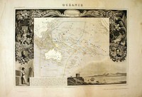
A beautiful map of the Australian region and Pacific. The map is surrounded by a very decorative border depicting scenes from the Pacific.
This map comes from one of the last ornate…[more]


.jpg)
.jpg)
.jpg)

.jpg)


.jpg)
.jpg)
.jpg)

.jpg)
.jpg)
.jpg)
.jpg)
.jpg)
.jpg)


