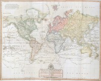
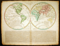
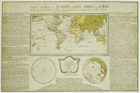
One of Vaugondy's large folio maps. The Vaugondys were descended from the Nicolas Sanson family who were also map makers of some importance. From him they inherited much of Sanson's cartographic…[more]
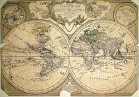
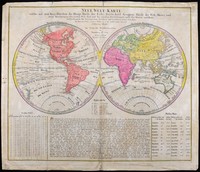
A map by Tobias Lotter, whose family produced a considerable amount of cartographic material in the 18 th century. This piece though damaged illustrates an example of one of the last decorative…[more]
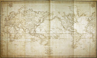
The first depiction of any part of Australia 's east coast based on actual observation. This map shows the tracks of Bougainville 's ships the Boudeuse and L'Etoile around the world in 1766 - 1769…[more]
Lotter's map of the world in ovaloid projection shows the track of Cook's first voyage.The later editions of the map continued to update the map especially using Cook's discoveries.
Even…[more]
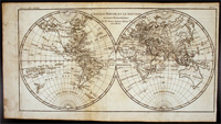
A popular map of the world still showing Australia connected to Tasmania. Bonne produced a large body of work though usually not very decorative like this piece.…[more]
Wall map of the world. Shows mathematical calculations for astronomy, navigation. Discusses many mathematical issues.
Published: 1781.
About the Publishers: Published by Robert…[more]
Lotter's map of the world in ovaloid projection showing the tracks of Cook's three voyages of discovery.
It is one of the first large scale maps to show the discoveries of Cook's three…[more]
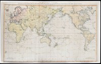
A map of the world showing Cook's second and third voyages. Australia is shown fairly crudely due to the maps purpose of showing the six regions or continents in the world. North America, South…[more]
This map is the centrepiece to the Cook collection and is said to have been the most accurate map of the world on its publication in 1784.
The map was drawn up by Henry Roberts after work…[more]
Magnificent wall world map in twin hemispheres showing the discoveries made by Cook in 1770 in New Zealand and Australia. The whole map set within a splendid and impressive framework.
…[more]One of a number of variations of this map. The eastern hemisphere depicts Australia with the classic exaggerated eastern coastline, which was especially used by the French in the pre-Cook era. The…[more]
Cook and Roberts' world map was first published in 1784. This edition by Faden was updated to include new discoveries. One of the new discoveries inlcude the inclusion of Lord Howe Island,…[more]
An interesting map of the world, showing discoveries up until 1793. It can be presumed that the map was printed circa 1795. However it is most likely that the map was originally printed in the…[more]
Map of the world showing the route of La Perouse's voyage. Cook's 1770 first voyage discoveries on Australia's East Coast are charted.
Following the immense success of Captain Cook's…[more]
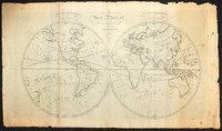
Map of the world showing Van Diemens Land (Tasmania) still connected to Australia, on the map named New Holland. Also in each corner globes showing relevant information. From Walker's Geography.…[more]
A large map of the world by Laurie & Whittle exhibiting all the quality of execution that they produced, especially in their large format maps. The design of the compass rose and cartouche are…[more]
Le Sage's map of the world is a good example of the movement towards the information age where information was key to the importance of a map and placing it into context rather than its decorative…[more]


.jpg)

.jpg)
.jpg)

.jpg)



.jpg)
.jpg)
