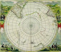
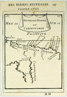
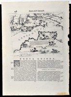
One of the earliest polar maps of the Antarctic.
Of particular interest to historians is the suggestion in the text accompanying this map, which describes rather accurately the…[more]
Solis' map is one of the few world maps to be printed in Spain in the late 16 th and early 17 th centuries. Spain had a strict secrecy policy in connection with the production of maps relating to…[more]
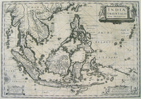
Important map of Southeast Asia and one of the few to show evidence of Drake's contact with Java.
Gerard Mercator is, apart from Ptolemy, probably the most important of all…[more]
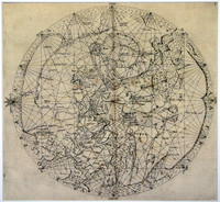
Medieval world map based on Portolano sources, with Jerusalem at the centre and east at the top.
The map is one of the very few printed medieval world maps to be based on Portolano…[more]
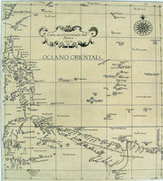
The map focuses on Southern Asia and the Northern Pacific, also showing part of the west coast of North America. Part of northern Australia can be seen coloured in green at the bottom of the map.…[more]
The map focuses on Asia. New Guinea is also shown to be divided, showing the strait (Endeavour Strait) that would soon be lost until Cook traveled through it in 1770. It can also be assumed that…[more]
The only Dutch printed map showing the 1606 discoveries of Willem Jansz, who in the Duyfken is attributed as making the first recorded European discovery in Australia on Cape York Peninsula.
…[more]Final state of Jodocus Hondius' rare world map in twin hemispheres surrounded by a decorative strapwork border. This state was published by Le Clerc's widow.
Jodocus Hondius engraved…[more]
The third edition of the first published map to chart the Dutch discoveries in Australia on both Cape York Peninsula and on the west coast of Australia .
Willem Blaeu was Hydrographer to…[more]
Up until 1627, the knowledge of Australian coastlines was restricted to largely haphazard contacts and sightings on the western and northern coasts. The eastern and southern coasts were completely…[more]
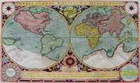
Decorative world map in twin hemispheres showing the results of Tasman's first voyage in Tasmania , based on Visscher's world map.
This map is a close copy of Visscher's first Bible…[more]
From the first sea atlas by an Englishman, and the first to use Mercator Projection.
This is the second state of Dudley's map of Asia, showing New Guinea , the northern tip of Cape York…[more]
Thevenot’s chart of Australia is the first large scale chart solely dedicated to Australia and one of the first to show Abel Tasman’s discoveries in Northern Australia and Tasmania. Only a few…[more]
The 'Nova Totius Terrarum Orbis Tabula' reworked by Rossi from De Wit's wall map. It is a tremendous and beautiful world wall chart that was originally printed on 12 separate sheets, which were…[more]
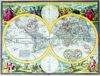
De Wit's decorative world map in twin hemispheres with allegorical scenes in the corners.
Regarded as one of the finest maps of its kind. The marvellous scenes in the corners combine an…[more]
De Wits edition of this famous hemispherical map of the Antarctic region by Hondius. This edition shows the discoveries of Tasman in Australia and New Zealand .
Originally published by…[more]
‘Isles de Salomon’, c1683 by Mallet. The map shows a number of ships exploring the Pacific. Interestingly the map hints at the possibility that New Zealand may be connected to the Solomon…[more]
The first detailed published map to show any part of Queensland (Tully). Shows New Guinea , the east coast of Cape York Peninsula and part of Arnhem Land .
Although not a particularly…[more]
Gore embeded in text by Coronelli. A Gore was a map that was engraved to be adheared onto a sphere to make a globe. Globe making was expensive for both the producer and buyer and so many map…[more]


.jpg)
.jpg)


.jpg)
.jpg)
.jpg)

