Printed from www.AntiqueMapart.com Catalogue on Saturday, Nov 23 2024
Search Criteria:


Showing Maps 141 to 160 of 220Jump to Page:Next12 ... 67891011Next
Carte des Declinaison et Inclinaison de l’auiguille Aimantee…
1777
BUFFON, George
54 x 42 cm

A French chart of Australia and New Zealand showing the discoveries made by Cook in 1770, during his first voyage and the discoveries made by Capt. Furneaux in Tasmania in 1773. Australia is…[more]

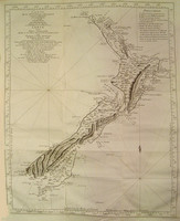
Carte De La Nouvelle Zelande / Carte von Neu Seeland
1774
COOK, James
48 x 36 cm

This chart shows the extent of Cook's discoveries and exploration of New Zealand during his first voyage to the pacific (1768-1771). It was the first complete map of New Zealand though this…[more]

A General Chart of the Passage from England to Botany Bay in New Holland 1787
1787
ANDREWS, J.
39 x 26 cm

Though this appears to be a map of the world it’s actual objective is to illustrate Australia’s (New Holland) distance from England and the track that is planned to be taken by the First Fleet on…[more]

The History of New Holland, from its First Discovery in 1616, to the Present Time… with a Particular Account of its Produce and Inhabitants; and a Description of Botany Bay...An Introductory Discourseon Banishment
1787
EDEN, STOCKDALE, J

THE HISTORY OF NEW HOLLAND, from its First Discovery in 1616, to the Present Time. With a Particular Account of its Produce and Inhabitants; and a Description of Botany Bay: also, A List of the…[more]

To the Right Honorable Edward Geoffrey Smith Stanley this map of the Colony of New South Wales...
1879
MITCHELL, Major Thomas Livingstone
111 x 59 cm

Mitchell's exceptional map of New South Wales was first issued in 1834, being without doubt the most detailed accurate map of New South Wales up to that point. Interestingly this issue of the map…[more]

Erd Charte nach der Bonneschen Projection...
1814
KELLER, Heinrich
100 x 60 cm

A beautiful large world map by Austrian mapmaker Heinrich Keller. Interestingly as this map was printed early in 1814 the detail of Australia shows a pre Flinders Australia with the French claim…[more]

Mappe Monde ou Carte Generale de l’Univers
1778
LOTTER, Tobias
90 x 46 cm

Lotter's map of the world in ovaloid projection shows the track of Cook's first voyage.The later editions of the map continued to update the map especially using Cook's discoveries.

Even…[more]

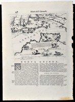
Het Niew Hollandt
Het Niew Hollandt
1690
CORONELLI, P.Vincenzo
29 x 23 cm

Gore embeded in text by Coronelli. A Gore was a map that was engraved to be adheared onto a sphere to make a globe. Globe making was expensive for both the producer and buyer and so many map…[more]

The Voyage of Governor Phillip to Botany Bay; with an account of the establishment of the colonies of Port Jackson & Norfolk Island...
1790
PHILLIP, Arthur
22 x 15 cm

One of the most important books written on the initial settlement of Australia in 1788 with detailed accounts of the people, animals and plants encountered in both Port Jackson and on Norfolk…[more]

A CHART OF NEW SOUTH WALES or the East Coast of New Holland Discover'd and explored by Lietutenant J.Cook, Commander of his Majesty's Bark Endeavour, in the year MDCCLXX
1773
COOK, James
78 x 36 cm

The first published chart of the east coast of Australia .

The first published full-scale map of the east coast of Australia and it is based on the charts drawn by Cook during the…[more]

Mar Di India
Mar Di India
1650
JANSSON, Jan
55 x 43 cm

Information to…[more]

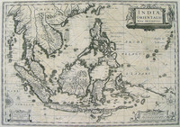
INDIAE ORIENTALIS NOVA DESCRIPTIO
1630
JANSSON, Jan
50 x 39 cm

The only Dutch printed map showing the 1606 discoveries of Willem Jansz, who in the Duyfken is attributed as making the first recorded European discovery in Australia on Cape York Peninsula.

…[more]
A General Chart: Exhibiting the Discoveries made by Capt.n James Cook in this and his two preceeding Voyages with the Tracks of the Ships under his Command
1794
FADEN, William, COOK, James
90 x 56 cm

Cook and Roberts' world map was first published in 1784. This edition by Faden was updated to include new discoveries. One of the new discoveries inlcude the inclusion of Lord Howe Island,…[more]

Orientaliora Indiarum Orientalium . Oost Indien
1715
RENARD, Louis

Australia is shown with north oriented to the left .

The prototype of De Wit and Ottens' impressive map is Goos' 1666 map of the East Indies which also had Australia shown with north…[more]

Chart of Terra Australis...East Coast Sheet IV, (Great Barrier Reef, Central/ Northern Queensland)
1814
FLINDERS, Matthew
62 x 89 cm

Flinders' chart in his ship the 'Investigator' (1802) of the central/northern Queensland coast shows the region between Cape Manifold and Cape Grafton as charted by both Cook and Flinders.…[more]

TYPUS ORBIS UNIVERSALIS
1550
MUNSTER, Sebastian
36 x 25 cm

Munster 's world map in ovaloid projection is one of the most sought after sixteenth century maps. Unlike many of its contemporaries, the great southern land is completely omitted.

…[more]
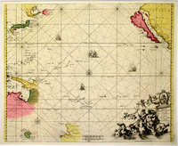
Magnum Mare del Zur cum Insula California
1745
DE WIT, Frederick
55 x 50 cm

Sea chart of the Pacific, filled with some of the most famous cartographic misconceptions. California is an island; the northen coastline of Australia is shown, with Tasmania a long way away from…[more]

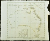
A New Chart of New Holland on which are delineated New South Wales, and a plan of Botany Bay
1787
ANDREWS, J.
35 x 36 cm

An exceptional chart of Australia and one of the very few pre settlement maps that focus exclusively on the Australian continent. This rare piece was included in the important book "The history of…[more]

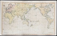
A General Chart: Exhibiting the Discoveries made by Capt.n James Cook in this and his two preceeding Voyages with the Tracks of the Ships under his Command
1784
COOK, James, ROBERTS, Henry
92 x 58 cm

This map is the centrepiece to the Cook collection and is said to have been the most accurate map of the world on its publication in 1784.

The map was drawn up by Henry Roberts after work…[more]

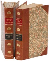
Narrative of the voyage of H.M.S. Rattlesnake...
1852
MACGILLIVRAY, John
23 x 16 cm

A rare first edition of the exploration of Torres Strait, The Great Barrier Reef, and the coasts of New Guinea during the 1840s by HMS Rattelsnake on their hydrographical voyage as set about by…[more]